Trust & transparency
Evidence & disclosures
Not yet classified. This article has not yet been classified under the current editorial standard. It may predate the policy; do not assume a product was owned, tested, supplied, or independently verified unless the article says so.
Linked references: 20 explicit sources in the article.
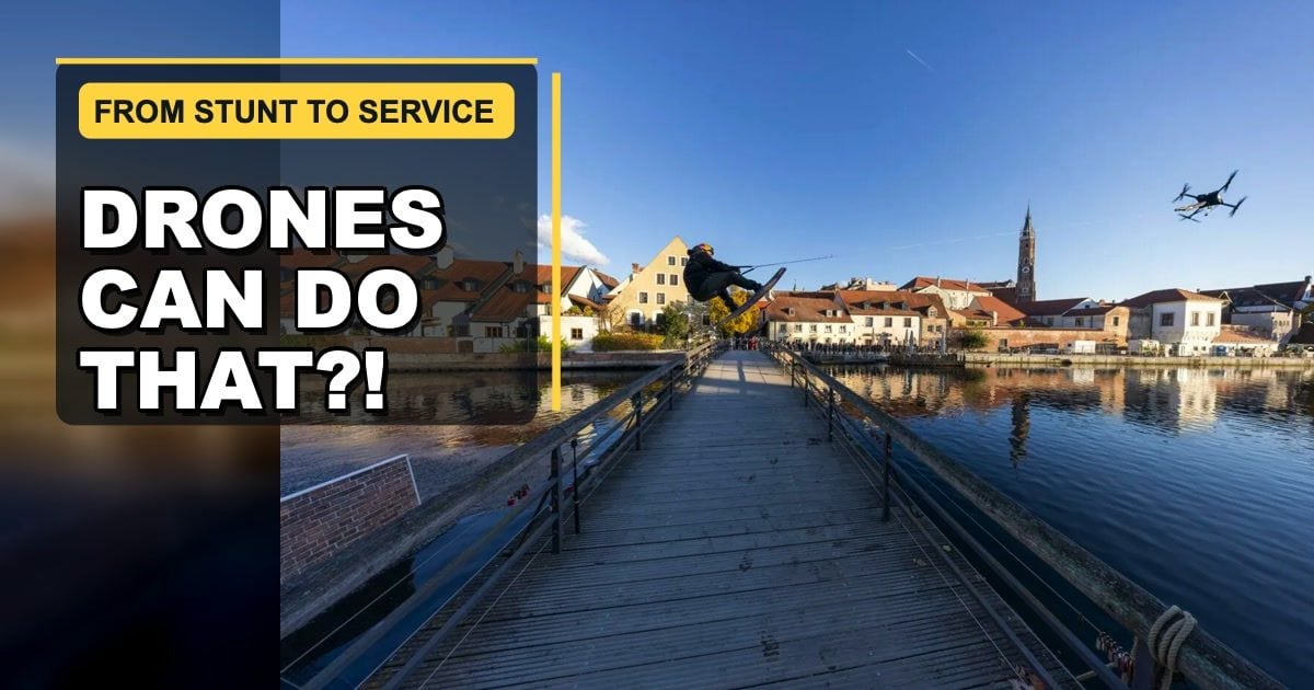
I first saw the clip because of the obvious question: Is that giant drone really pulling a wakeboarder?
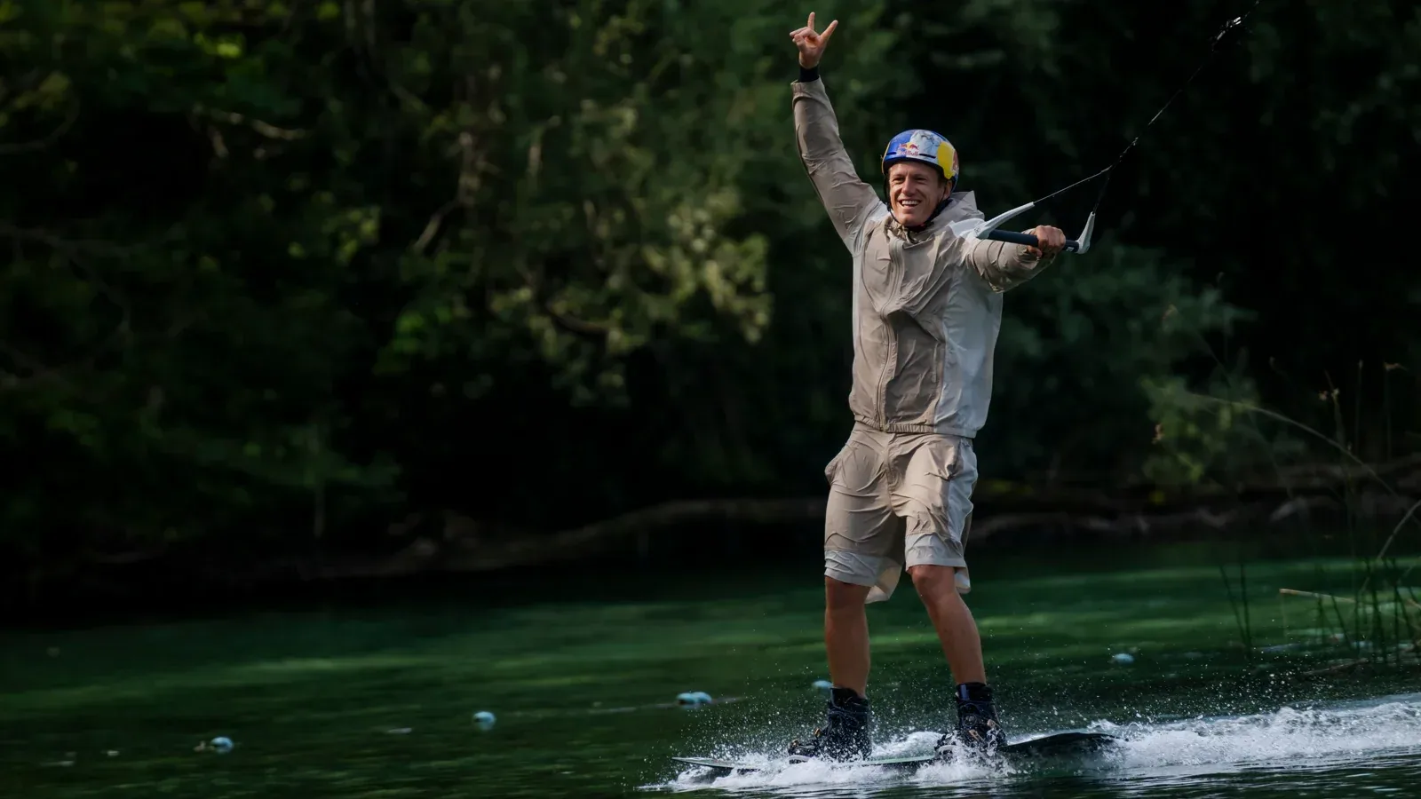
It is. Two-time wakeboarding world champion Dominik Gührs rides through the Isar River in Landshut, Germany, with a tow line running up to a custom-built aircraft. He jumps a bridge while the drone keeps moving above the city.
That is a spectacular way to get my attention. But the most interesting thing about the project is not the stunt. It is what the stunt reveals.
If a flying machine can pull an elite athlete across water, what could a carefully designed drone carry, inspect, map, or reach when the goal is not entertainment? Could it bring a rescue ring to someone faster than a boat? Check a crop without sending a worker across acres of field? Carry blood where roads are slow? Inspect a power line without putting a person in a dangerous position?
We hear so much about drones as weapons, privacy problems, or annoying toys that it is easy to forget a basic fact: a drone is a platform, not a purpose. The mission, operator, design, and rules decide whether it helps or harms.
Disclosure: I did not participate in this build or test this aircraft. This is a source-backed look at the public project and at documented civilian drone programs. Manufacturer and project claims are identified as such.
TL;DR
- The wakeboarding aircraft was a custom 2.75-meter drone developed by film producer Sebastian Stare and EEIDO GmbH—not a consumer drone and not a published DIY build.
- The Landshut project used a world-champion rider, city coordination, aviation approval claimed by the production team, and support from emergency services.
- An earlier test included a much more practical idea: Water Rescue practiced using a drone with a rescue ring and stretcher.
- Civilian drones already help inspect crops and infrastructure, map disasters, support firefighters, move medical supplies, study storms and wildlife, and deliver equipment across hard terrain.
- The strongest uses usually do one of four things: see, carry, reach, or respond while reducing delay or human exposure to danger.
- Drones still create real problems when operators ignore privacy, wildlife, weather, maintenance, or restricted emergency airspace.
What Did They Actually Build?
The public video, “Wakeboarding Behind a Drone!!! The Future,” was released by Gührs in July 2026. His Instagram profile identifies him as a professional wakeboarder and two-time world champion.
The more useful build details come from the City of Landshut. Its account of the October 2025 filming describes a 2.75-meter-diameter custom high-performance drone developed by Sebastian Stare and EEIDO GmbH. The production team said it had the aviation approval needed to fly an aircraft of that size in the city and use it to tow a person. The project also involved police, the volunteer fire department, the Technical Relief Agency, Water Rescue, road closures, and several commercial partners. The city’s report makes this sound less like someone tying a rope to a hobby drone and more like a compact film and aviation operation.
What the public sources do not provide is equally important. I could not verify the motors, battery system, flight controller, frame materials, thrust margin, redundancy, tow-release design, or emergency procedures. Those missing details matter more than the 2.75-meter measurement if someone were trying to reproduce it.
So this article is not a build guide. The lesson is not “buy a large drone and attach a rope.” The lesson is that a drone can be engineered around a job that once required a boat, helicopter, crane, vehicle, or person entering a risky place.
The Best Clue Was Hidden in an Earlier Test
Landshut had already hosted a controlled test in October 2024. Part of a lake was closed while Gührs evaluated the pull and practiced tricks. But the city’s test report includes a second experiment that deserves more attention: Water Rescue practiced combining a drone with a rescue ring and a stretcher for swimmer rescue.
That is the bridge between spectacle and service.
A rescue drone does not have to replace lifeguards, boats, or helicopters. It may only need to get flotation to a person during the minutes before a crew arrives. It can provide a view from above, mark a location, carry a line, or reduce the time a rescuer spends searching dangerous water.
The giant wakeboarding drone is memorable because it pulls a human for fun. The rescue version matters because it may help keep a human alive.
One Flying Machine, Four Basic Jobs
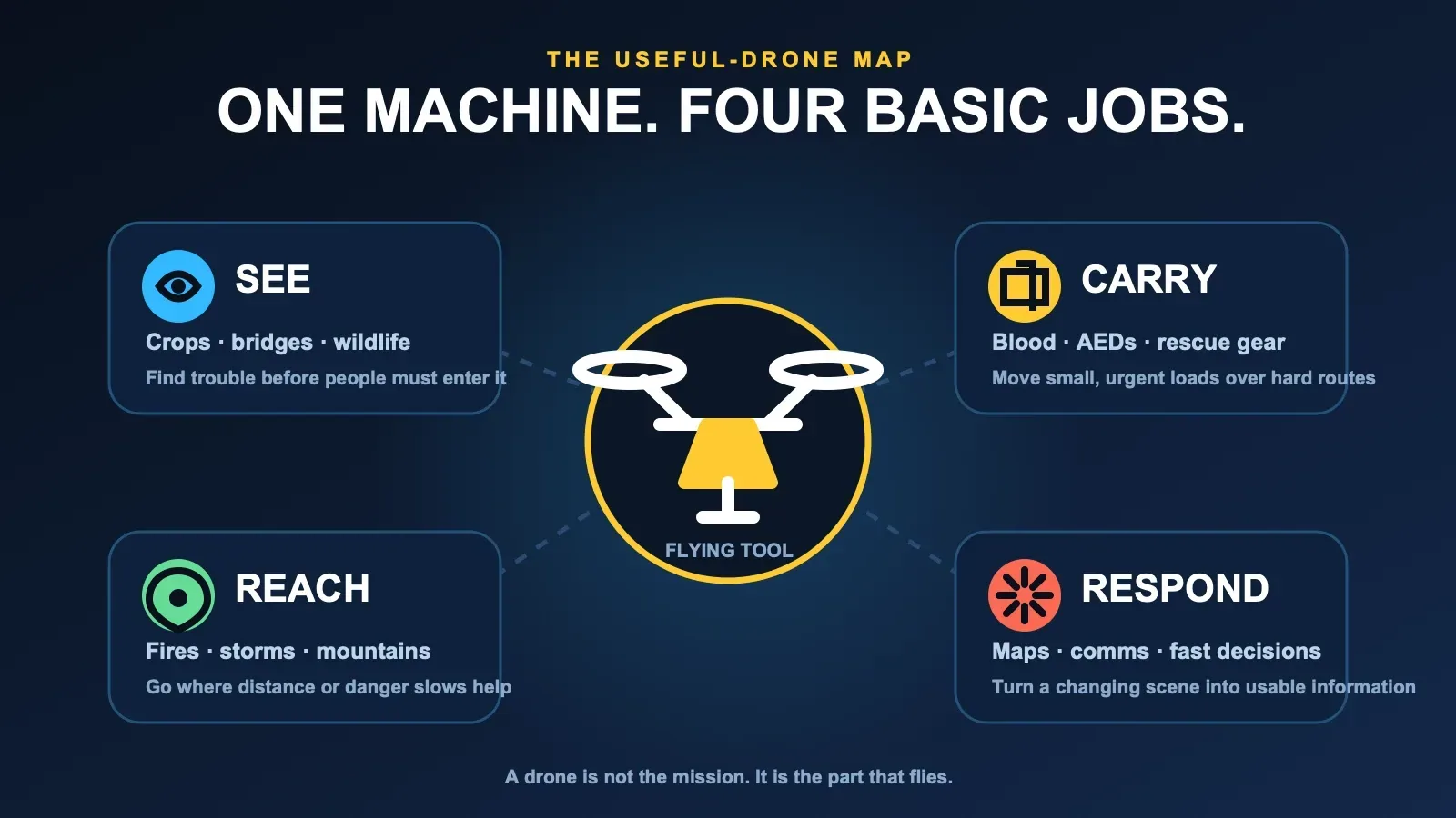
Most useful civilian drone ideas fit into four plain-English verbs.
- See: put a camera or sensor above something that is large, remote, unstable, or dangerous.
- Carry: move a relatively small, valuable, or urgent load without waiting for a road route.
- Reach: cross water, rough land, smoke, flood damage, or other barriers that slow people.
- Respond: turn a changing scene into maps, measurements, communications, and faster decisions.
The interesting uses usually combine two or more. A wildfire drone may see heat, reach smoky terrain, carry equipment, and relay communications. An agricultural drone may see crop stress, map where it is happening, and make a targeted treatment.
Agriculture: Less Guessing Across More Ground
Agriculture may be the clearest example of a practical drone job because farms are large and conditions can change from one section to the next.
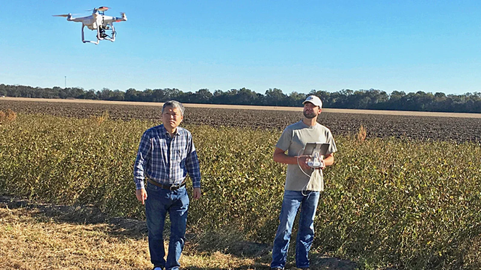
A drone carrying normal, multispectral, thermal, or other sensors can help a farmer look for uneven irrigation, damaged plants, pests, disease pressure, erosion, ground cover, or soil-moisture patterns. That does not automatically diagnose a field. It gives the farmer or agronomist a better place to look.
The U.S. Department of Agriculture’s Agricultural Research Service currently has a project focused on agricultural spray drones and related sensing. Its goals include improving production efficiency, reducing the environmental impact of precision pesticide application, and using drone data to monitor soil moisture, ground cover, and erosion. USDA describes the research here.
The potential benefits are practical:
- Faster scouting: inspect a large field after a storm without walking every row.
- More targeted treatment: apply material to the area that needs it instead of treating everything the same way.
- Less worker exposure: reduce the time a person spends near chemicals, steep slopes, mud, or heavy equipment.
- Better timing: find irrigation trouble or crop stress before it becomes obvious from the road.
- Useful records: compare the same area over time instead of relying on memory.
This is not magic. Spray drift, calibration, weather, battery life, sensor interpretation, data ownership, and local rules still matter. A bad map can produce a bad decision faster. But a well-run drone program can replace broad guessing with a more focused question: Where should a person pay attention today?
Public Safety: Send the Sensor Before the Person
The safest drone use may be the one that lets a trained responder understand a scene before entering it.
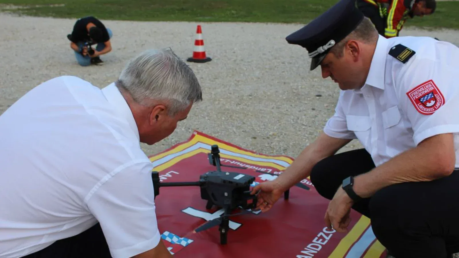
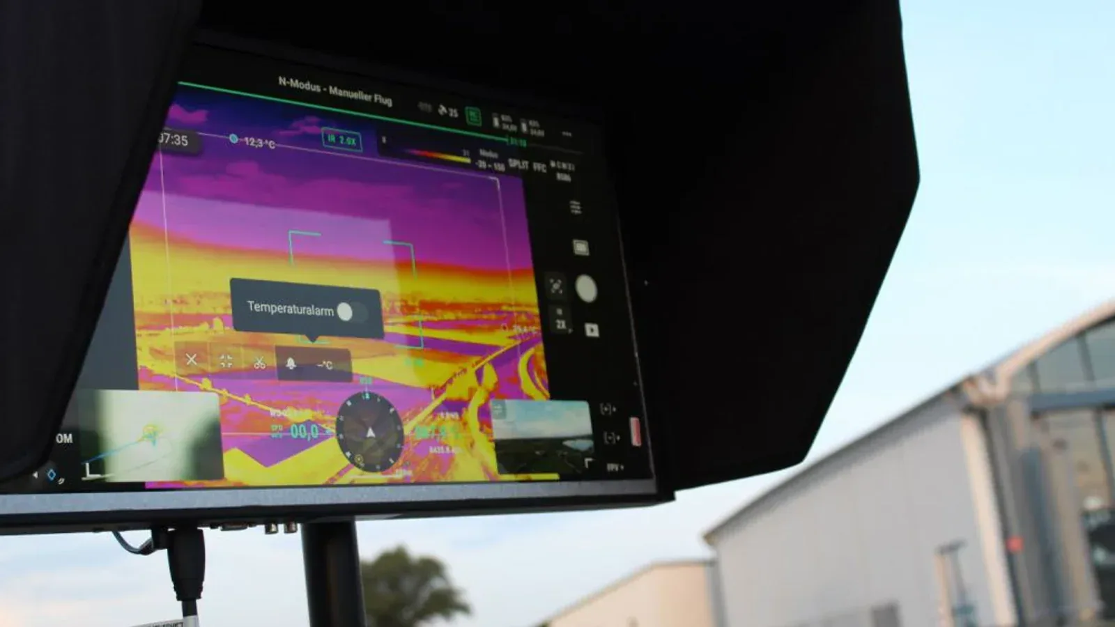
Landshut offers a real local example beyond the wakeboarding film. The district fire-service association says its dedicated drone unit operates two high-resolution aircraft with thermal cameras for missing-person searches, finding hot spots, and surveying emergency scenes. The roughly 30 trained responders also deploy a monitor, landing areas, barriers, and protective equipment—the ground system that makes the flying camera useful. The unit’s official page includes these photographs from the district press office.
Wildfires
NASA’s Advanced Capabilities for Emergency Response Operations project is working on ways drones could support wildland firefighting through monitoring, communications relay, equipment delivery, prescribed burns, and other missions. One aim is safer shared airspace so crews can use remotely operated aircraft in smoke, at night, or in other conditions where conventional flight is difficult. NASA explains the ACERO work here.
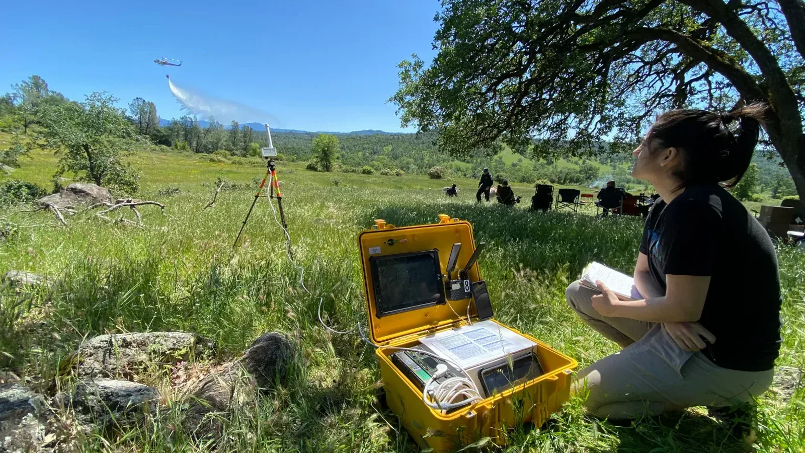
But this benefit comes with a major warning. An unauthorized drone near a wildfire can force crewed firefighting aircraft to stop flying. The FAA’s message is blunt: if you fly, they can’t. A drone can make a professional operation safer while a careless hobby flight makes the same emergency more dangerous.
Search, rescue, and disaster mapping
After a flood, earthquake, landslide, or storm, responders may need an updated view immediately. Roads, bridges, and buildings can change faster than old maps. A drone can survey an area, locate heat signatures, check a roof, or help a team choose a route without sending someone blindly into unstable ground.
The FAA specifically recognizes firefighting, disaster relief, search and rescue, and scientific research among public drone missions. Emergency operations may also use special authorizations rather than ordinary flight planning. Its public-safety guidance is a useful starting point.
The goal is not to replace the responder. It is to help the responder arrive with better information.
Medical Delivery: Small Cargo, Very High Value
A drone cannot carry much compared with a truck. That can be an advantage when the cargo is small and the delay is the real problem.
UNICEF has used and evaluated drones for moving vaccines, medicines, diagnostic samples, blood products, and other health supplies to or from places separated by mountains, water, weak roads, or long travel times. UNICEF’s last-mile overview describes programs beginning in 2016 and emphasizes that the aircraft are one part of a larger health-supply system.
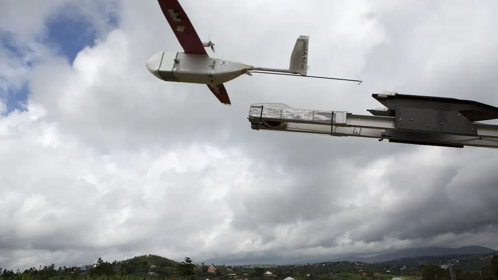
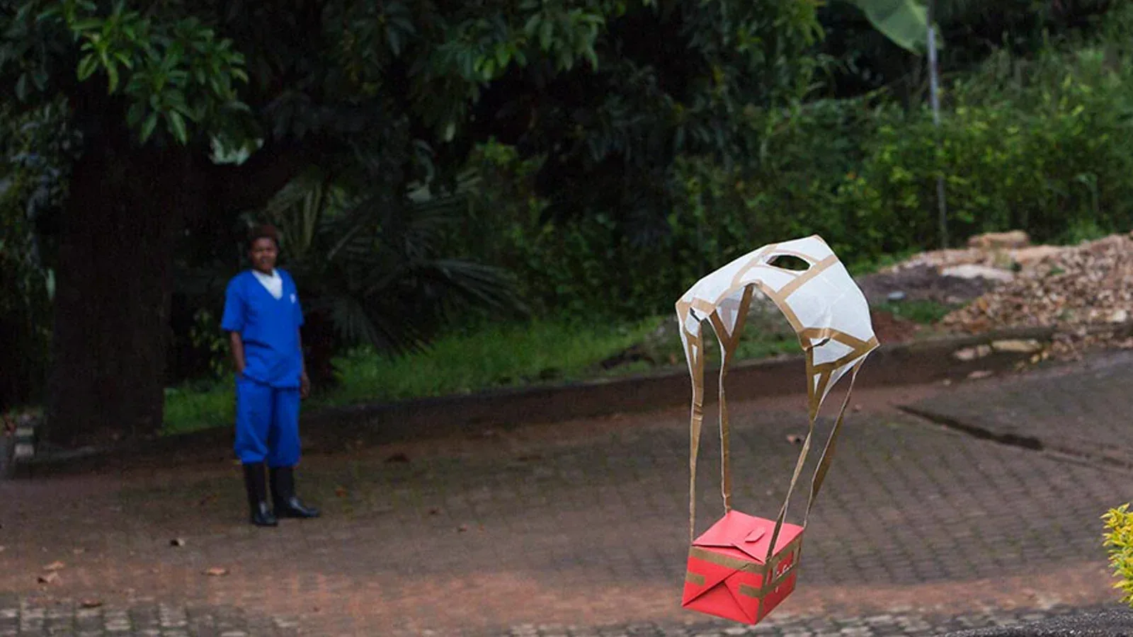
Rwanda’s national drone-delivery service makes the idea tangible. Gavi’s account shows Zipline’s fixed-wing aircraft launching from a powered rail and delivering blood packages by parachute near health facilities, avoiding the need for a runway at the destination. It is a reminder that “drone delivery” includes a launch system, trained staff, packaging, communications, and a health network—not just the aircraft. Gavi documents the Rwanda operation and these field photographs.
Emergency defibrillator delivery is another promising use. In a Swedish study published in The Lancet Digital Health, drones carrying automated external defibrillators arrived before ambulances in 37 of 55 completed deliveries—67 percent—with a median advantage of 3 minutes and 14 seconds. Six delivered devices were attached to patients before the ambulance arrived, and two were used to deliver a shock. The study reported no adverse events. Read the study.
That result does not mean a drone replaces emergency medical services. It suggests a drone may place one lifesaving tool closer to a patient while dispatchers, bystanders, and professionals do the rest.
Infrastructure: Inspect the Hard Part Without Climbing It
Power lines, pipelines, towers, bridges, roofs, and industrial sites all need inspection. They are also exactly the places where height, heat, traffic, electricity, or confined access can put workers at risk.
The U.S. Department of Energy says drones can support safer and more frequent inspections, collect better data, reduce some costs, and help find conditions that could lead to failures. It also points to drone-based LiDAR for managing vegetation near power lines. The department’s risk-mitigation guide covers both the benefits and the risks.
At Oak Ridge, for example, workers prepared a camera-carrying mini-helicopter drone to inspect the inside of the 3039 exhaust stack. The Department of Energy described the method as a way to collect the needed view without placing an inspector inside the structure. The Oak Ridge field report shows the actual aircraft and crew.
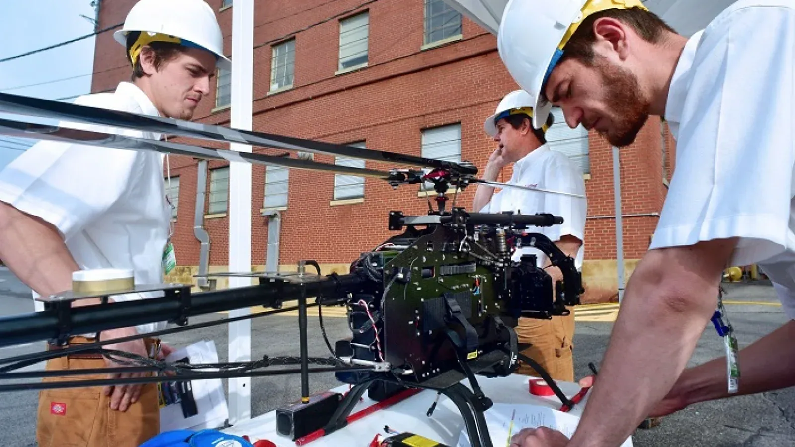
The drone is not making the engineering judgment. It is getting the camera or sensor into position so a qualified person has better evidence.
Science and the Environment: Go Where the Data Is
NOAA uses uncrewed aircraft in hurricane research, emergency response, marine-mammal work, and other missions in remote or harsh environments. Its program also emphasizes training, airworthiness, risk management, and coordination with the FAA. NOAA’s overview is a good reminder that useful drone science depends on disciplined operations, not just a good camera.
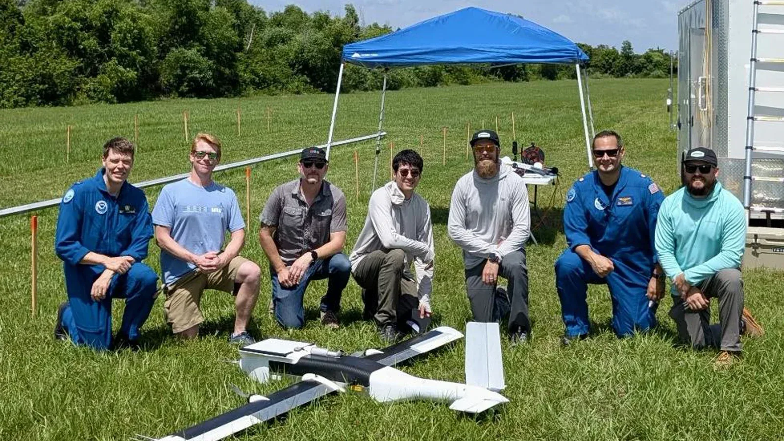
In June 2025, NOAA and Dragoon tested the fixed-wing Dragoon Coriolis in clear-air demonstrations as preparation for gathering low-altitude observations in the dangerous area beneath a hurricane’s eyewall. NOAA’s test report is careful about the difference between a promising test and an operational storm mission.
Drones can help researchers count animals, inspect habitats, measure storm conditions, or revisit the same location consistently. They may reduce some repeated boat, vehicle, or crewed-aircraft trips. But flying too close can disturb wildlife, and collecting imagery raises questions about who can see it and how long it is kept. “For science” is not a free pass around permits, animal welfare, or privacy.
One of the Strangest Uses: Releasing Mosquitoes
This sounds like the beginning of a bad movie, but the goal can be disease control.
The sterile insect technique raises large numbers of target insects, sterilizes the males using radiation, and releases them so mating does not produce offspring. Because male mosquitoes do not bite, repeated controlled releases can reduce a target population over time. The International Atomic Energy Agency notes that releases can be made from the ground or by air, including with drones. Its mosquito FAQ explains the method.
In a 2018 Brazil test, an FAO/IAEA program and WeRobotics mounted a release machine beneath a DJI Matrice 600 Pro. The project reported using the system to distribute sterile male Aedes aegypti over a controlled test area. The program newsletter documents the aircraft and trial.
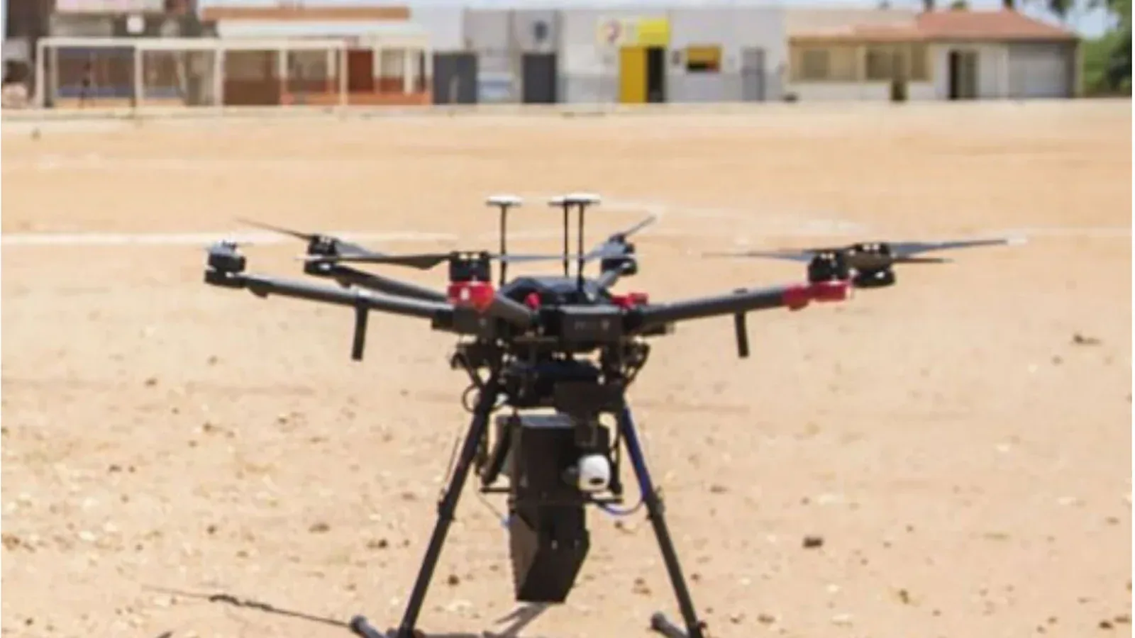
This is not something an individual should try. It is a carefully managed public-health and biological-control program. But it is a perfect example of a use almost nobody imagines when they hear the word “drone.”
What Drones Do Not Fix
I do not want to turn a defense of drones into an excuse for every drone.
They can be noisy. Cameras can invade privacy. Bad pilots can endanger aircraft or responders. Low flights can disturb wildlife. Batteries, links, motors, and sensors can fail. Weather can change. Automated decisions can be wrong. Military use and weaponization are real, and civilian technology can be dual-use.
In the United States, ordinary small-drone operations generally fall under FAA rules including visual line of sight, avoiding crewed aircraft, limits on operations over people, and a requirement that external loads remain secure and not hurt controllability. Waivers and public-safety processes exist for missions outside the normal limits. The FAA’s Part 107 overview is the place to check before treating an unusual idea as a legal flight plan.
Those rules do not explain the German droneboarding project, which operated under its own local and aviation approvals. They do show why the clip should not be copied as a backyard experiment.
My Five-Question Drone Benefit Test
When a new drone idea sounds impressive, I would ask five questions before calling it useful:
- Does it keep a person out of danger?
- Does it reach time-sensitive or difficult terrain better than the current option?
- Does it collect only the data needed for a real decision?
- Could it reduce chemicals, fuel, wasted trips, or unnecessary treatment?
- Is there a serious plan for failure, airspace, bystanders, privacy, and wildlife?
Four or five “yes” answers suggest a strong public benefit. Two or three mean the idea may need work. Zero or one usually means we are looking at gadget theater—or a risk wearing a futuristic costume.
The wakeboarding drone passes the “memorable” test instantly. The rescue ring, crop map, medical package, wildfire sensor, and bridge inspection show what happens when that same flying capability is judged by a more important standard.
Final Thought
The Landshut video is fun because it makes a drone look impossibly powerful. The real promise is quieter: putting a sensor, tool, or small package where it is needed without automatically putting another person in harm’s way.
Drones are not all good, and they are not all bad. They are not only weapons, and they are not automatically helpers. They are machines that inherit the priorities of the people who design the mission.
The next time I see one in the sky, I want to ask a better question than “What kind of drone is that?”
What useful job is it trying to do—and who benefits if it succeeds?
Sources and Further Reading
- Dominik Gührs on Instagram
- Wakeboarding Behind a Drone!!! The Future — Dominik Gührs
- City of Landshut: Droneboarding LA filming project
- City of Landshut: 2024 droneboarding test
- Landshut district fire-service drone unit
- USDA Agricultural Research Service: agricultural spray-drone research
- USDA Agricultural Research Service: weed spotting by drone
- NASA ACERO and wildland fires
- FAA public-safety drone resources
- UNICEF: drones reach the last mile
- Gavi: medical drone delivery in Rwanda
- The Lancet Digital Health: AED drone delivery study
- U.S. Department of Energy: UAS risk-mitigation guide
- U.S. Department of Energy: Oak Ridge drone inspection
- NOAA uncrewed aircraft systems
- NOAA: Dragoon Coriolis hurricane-research test
- IAEA: sterile insect technique for mosquitoes
- FAO/IAEA Insect Pest Control Newsletter No. 91
- FAA Part 107 overview